French Creek Wildlife Area Hunting & access guide
A named Wisconsin wildlife property featured in the DNR's pheasant-hunting map; consult FFLIGHT for the designated hunting parcels.
A discovery guide. Current agency rules and posted boundaries take priority.
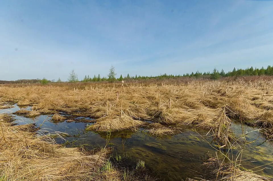 Location photograph
wackybadgerImage source CC BY-SA 2.0
Photograph of the named area, verified against the image source. Resized and cropped for layout. This image remains available under CC BY-SA 2.0. It does not show current conditions or property boundaries.
Hunting area & landscape.
- State
- Wisconsin
- Land designation
- Wildlife area
- Landscape
- Check the agency’s habitat and terrain map
- Approximate location
- 43.649° N, 89.353° W
Species in this listing
These tags help narrow your research. They do not establish an open season, a huntable population or permission to hunt this property.
Compare weapon & ammunition optionsHunting access & planning.
Check the managing agency for current seasons, licenses, permits, access routes and closures. Follow posted boundaries and restrictions. The marker represents an agency hunting-map parcel; the entire named property's access and boundaries may differ. Species tags reflect agency property data, not confirmation of an open hunt.
Approximate representative location derived from an agency map; not an entrance, access route or legal hunting boundary.
Read the public-land planning guides