South Dakota / Public land
Fort Pierre National Grassland Hunting & access guide
Explore rolling mixed-grass prairie in South Dakota. Check agency maps for designated hunting areas.
A discovery guide. Current agency rules and posted boundaries take priority.
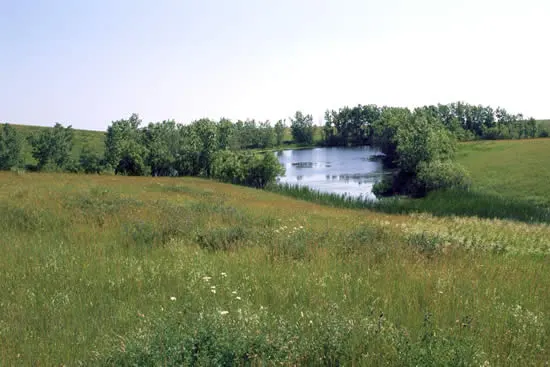 Location photograph
U.S. Forest ServiceImage source Public domain
Photograph of the named area, verified against the image source. Resized and cropped for layout. It does not show current conditions or property boundaries.
GET YOUR BEARINGS
Hunting area & landscape.
- State
- South Dakota
- Land designation
- Public land
- Landscape
- Rolling mixed-grass prairie
- Approximate location
- 44.080° N, 100.340° W
Species in this listing
These tags help narrow your research. They do not establish an open season, a huntable population or permission to hunt this property.
Compare weapon & ammunition optionsBEFORE THE TRAILHEAD
Hunting access & planning.
Check the managing agency for current seasons, permits, access routes and closures. Species are discovery tags, not confirmation of an open hunt.
Approximate location for discovery; not an access point or hunting boundary.
Read the public-land planning guides