Caribou Wildlife Management Area Hunting & access guide
Caribou Wildlife Management Area is listed in the Minnesota DNR wildlife management area inventory near Lancaster. Review the agency’s area details and mapped restrictions before planning a hunt.
A discovery guide. Current agency rules and posted boundaries take priority.
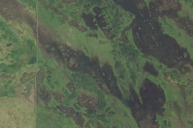 Aerial view · approximate location
USDA, USGS The National Map: Orthoimagery. Map services and data available from U.S. Geological Survey, National Geospatial Program.Image source Public-domain National Map CONUS imagery
Imagery date: Capture date varies
Imagery around this listing’s approximate map point. Surrounding public or private land may appear. This image is not a property boundary, entrance or hunting-access map. Resized for display.
Hunting area & landscape.
- State
- Minnesota
- Land designation
- Wildlife area
- Landscape
- Check the agency’s habitat and terrain map
- Approximate location
- 48.964° N, 96.548° W
Species in this listing
These tags help narrow your research. They do not establish an open season, a huntable population or permission to hunt this property.
Compare weapon & ammunition optionsHunting access & planning.
The east-west road through and adjacent to the unit has been improved. Three camping and parking areas have been identified with Camping Permitted@ signs. Several other areas allow adequate parking or parking is available along the main roads. Check current agency rules, seasons, permits, posted boundaries and closures before visiting.
Approximate discovery pin inside the largest mapped agency polygon; not an access point or hunting boundary.
Read the public-land planning guides