Ionia Recreation Area Hunting & access guide
Ionia Recreation Area has designated hunting portions identified by Michigan DNR. Consult MiHunt and the park’s current rules for boundaries, weapon restrictions and seasonal access.
A discovery guide. Current agency rules and posted boundaries take priority.
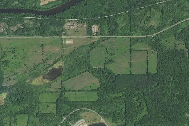 Aerial view · approximate location
USDA, USGS The National Map: Orthoimagery. Map services and data available from U.S. Geological Survey, National Geospatial Program.Image source Public-domain National Map CONUS imagery
Imagery date: Capture date varies
Imagery around this listing’s approximate map point. Surrounding public or private land may appear. This image is not a property boundary, entrance or hunting-access map. Resized for display.
Hunting area & landscape.
- State
- Michigan
- Land designation
- Public land
- Landscape
- Check the agency’s habitat and terrain map
- Approximate location
- 42.952° N, 85.129° W
Species in this listing
Area-specific species information has not been added to this listing. Use the managing agency’s resource to check available hunts and current restrictions.
Compare weapon & ammunition optionsHunting access & planning.
Hunting is limited to designated open portions shown by MiHunt; other park areas are closed. Restrictions may differ among portions. Quail may be harvested only by field trial participants in the field trial area on days with authorized field trials Check current agency rules, seasons, permits, posted boundaries and closures before visiting.
Approximate discovery pin inside the largest mapped agency polygon; not an access point or hunting boundary.
Read the public-land planning guides