Bald Mountain Recreation Area Hunting & access guide
Bald Mountain Recreation Area has designated hunting portions identified by Michigan DNR. Consult MiHunt and the park’s current rules for boundaries, weapon restrictions and seasonal access.
A discovery guide. Current agency rules and posted boundaries take priority.
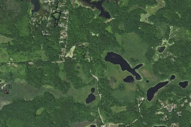 Aerial view · approximate location
USDA, USGS The National Map: Orthoimagery. Map services and data available from U.S. Geological Survey, National Geospatial Program.Image source Public-domain National Map CONUS imagery
Imagery date: Capture date varies
Imagery around this listing’s approximate map point. Surrounding public or private land may appear. This image is not a property boundary, entrance or hunting-access map. Resized for display.
Hunting area & landscape.
- State
- Michigan
- Land designation
- Public land
- Landscape
- Check the agency’s habitat and terrain map
- Approximate location
- 42.790° N, 83.198° W
Species in this listing
Area-specific species information has not been added to this listing. Use the managing agency’s resource to check available hunts and current restrictions.
Compare weapon & ammunition optionsHunting access & planning.
Hunting is limited to designated open portions shown by MiHunt; other park areas are closed. Restrictions may differ among portions. Local Controls: No firearms on the waters of Tommys lake, or on the land within 450 feet of the water's edge Local Controls: No firearms except shotguns, flintlock, or percussion cap muzzleloading rifles .44 caliber or larger Local Controls: No firearms except for waterfowl hunting; No firearms except shotguns with shot larger than No. 6 Local Controls: No Firearms Check current agency rules, seasons, permits, posted boundaries and closures before visiting.
Approximate discovery pin inside the largest mapped agency polygon; not an access point or hunting boundary.
Read the public-land planning guides