R. Waldo Tyler (Weskeag Marsh) Wildlife Management Area Hunting & access guide
R. Waldo Tyler (Weskeag Marsh) Wildlife Management Area is listed in Maine Department of Inland Fisheries and Wildlife's public hunting-area inventory. Use the agency resource for site rules and access information.
A discovery guide. Current agency rules and posted boundaries take priority.
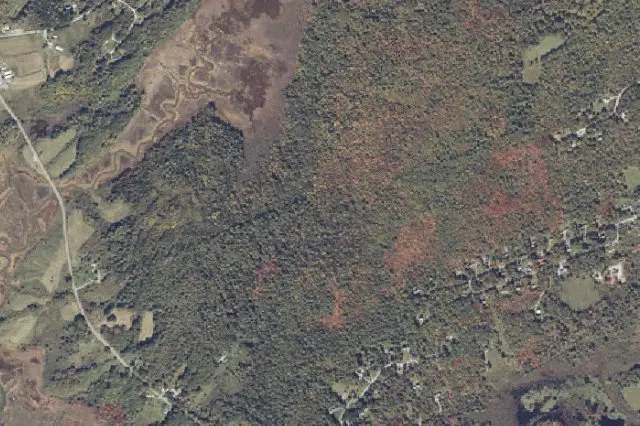 Aerial view · approximate location
USDA, USGS The National Map: Orthoimagery. Map services and data available from U.S. Geological Survey, National Geospatial Program.Image source Public-domain National Map CONUS imagery
Imagery date: Capture date varies
Imagery around this listing’s approximate map point. Surrounding public or private land may appear. This image is not a property boundary, entrance or hunting-access map. Resized for display.
Hunting area & landscape.
- State
- Maine
- Land designation
- Wildlife area
- Landscape
- Check the agency’s habitat and terrain map
- Approximate location
- 44.077° N, 69.128° W
Species in this listing
Area-specific species information has not been added to this listing. Use the managing agency’s resource to check available hunts and current restrictions.
Compare weapon & ammunition optionsHunting access & planning.
Consult MDIFW property maps and current hunting-area rules. Posted sanctuaries, developed facilities and temporary closure areas remain excluded; confirm legal access routes and avoid private inholdings.
Approximate discovery location derived from Maine Department of Inland Fisheries and Wildlife geometry; not an entrance, route or legal hunting boundary.
Read the public-land planning guides