Puʻu Anahulu Game Management Area Hunting & access guide
Dry Hawaiʻi Island uplands with designated game-bird habitat.
A discovery guide. Current agency rules and posted boundaries take priority.
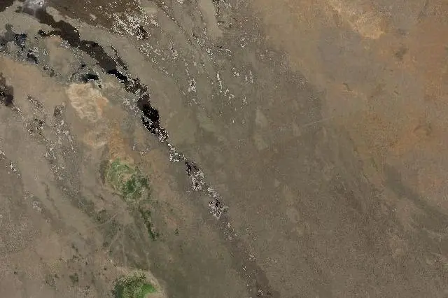 Satellite view · approximate location
Landsat imagery: USGS / NASA. NASA GIBS, part of NASA ESDIS.Image source Public-domain Landsat data
Imagery date: 2000 annual composite
Imagery around this listing’s approximate map point. Surrounding public or private land may appear. This image is not a property boundary, entrance or hunting-access map. Historical imagery; landscapes may have changed. Resized for display.
Hunting area & landscape.
- State
- Hawaii
- Land designation
- Wildlife area
- Landscape
- Dry woodland & lava country
- Approximate location
- 19.830° N, 155.800° W
Species in this listing
These tags help narrow your research. They do not establish an open season, a huntable population or permission to hunt this property.
Compare weapon & ammunition optionsHunting access & planning.
Check the managing agency for current seasons, permits, access routes and closures.
Approximate location for discovery; not an access point or hunting boundary.
Read the public-land planning guides