Greers Ferry Lake Wildlife Management Area Hunting & access guide
A named public hunting destination in Arkansas. Use the agency’s map to plan access to permitted areas.
A discovery guide. Current agency rules and posted boundaries take priority.
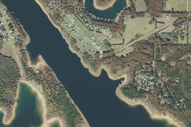 Aerial view · approximate location
USDA, USGS The National Map: Orthoimagery. Map services and data available from U.S. Geological Survey, National Geospatial Program.Image source Public-domain National Map CONUS imagery
Imagery date: Capture date varies
Imagery around this listing’s approximate map point. Surrounding public or private land may appear. This image is not a property boundary, entrance or hunting-access map. Resized for display.
Hunting area & landscape.
- State
- Arkansas
- Land designation
- Wildlife area
- Landscape
- Check the agency’s habitat and terrain map
- Approximate location
- 35.541° N, 92.173° W
Species in this listing
Area-specific species information has not been added to this listing. Use the managing agency’s resource to check available hunts and current restrictions.
Compare weapon & ammunition optionsHunting access & planning.
Hunting access may be seasonal, drawn or restricted to designated areas. Check the managing agency for current permits, boundaries and closures.
Approximate representative point from official agency map data; not an entrance, access route or hunting boundary.
Read the public-land planning guides